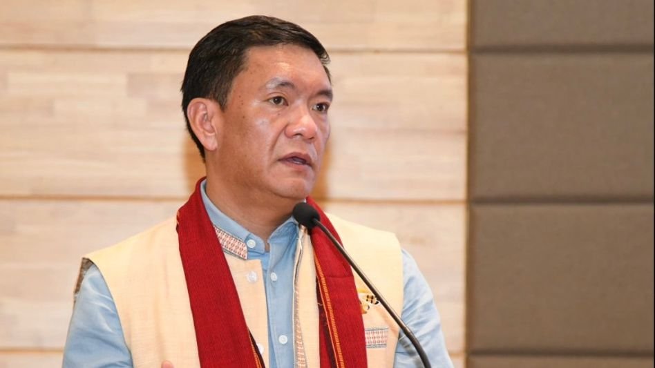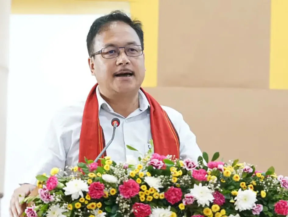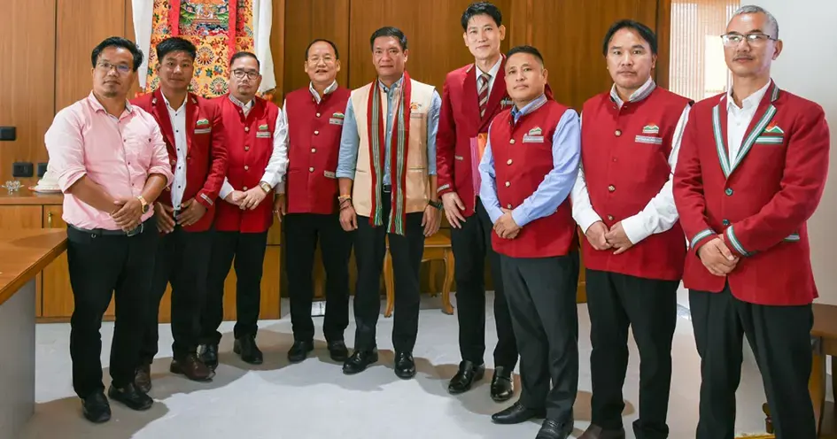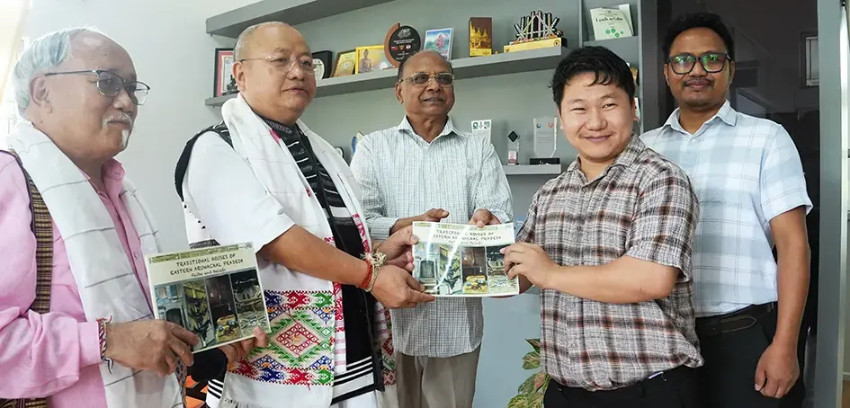

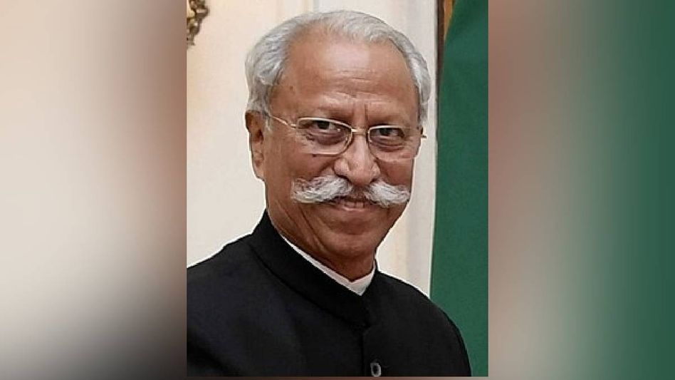
Itanagar, August 6 — Governing a state like Arunachal Pradesh without serious geospatial intelligence is, frankly, like trying to navigate its deep valleys and high passes in the dark. Governor KT Parnaik said as much — though more diplomatically — when he took the stage at the ‘Geo Vision Itanagar’ seminar on Thursday.
A Bold Call from Raj Bhavan
Governor KT Parnaik on Thursday called for Geographic Information System (GIS) technology to become the cornerstone of governance in Arunachal Pradesh, stressing that technology-driven decision-making is essential to address the state’s unique geographical and administrative challenges. The seminar, organised by Esri India in Itanagar, drew attention to something many have long known but rarely acted on — Arunachal’s terrain is not just beautiful, it’s brutally complex to administer. Remote villages, difficult connectivity, scattered populations. The old ways of paper-based planning simply aren’t cutting it anymore.
Not a Suggestion — A Necessity
The governor said the state’s diverse terrain and geographical profile necessitate the adoption of advanced geospatial technologies to improve governance and public service delivery. That word — necessitate — matters. It’s not a luxury upgrade. It’s a survival strategy for a state that shares sensitive borders, hosts enormous biodiversity, and still struggles to deliver basic services to its farthest corners. If you’ve ever seen how disconnected some of Arunachal’s districts are from even district headquarters, you understand exactly what Parnaik is pointing at.
One Platform to Bind Them All
Parnaik advocated a comprehensive transition to GIS-based governance across the state and urged all government departments to work on a common geospatial framework. He proposed the establishment of a State Geospatial Governance Platform to facilitate integrated planning, data sharing and informed policy decisions. This is where it gets genuinely ambitious. Right now, different departments often work in silos — the PWD doesn’t always know what Forest is doing, and Revenue might have maps that don’t match what Health is working with. A shared geospatial platform would force that kind of coordination to actually happen.
What It Means on the Ground
The governor said a unified GIS platform would strengthen administrative efficiency, enhance coordination among departments and enable evidence-based governance, ultimately improving service delivery and development planning across Arunachal Pradesh. Think of it as giving every department the same reliable map, the same real-time data, the same foundation to make decisions from. Roads, disaster response, healthcare access, agriculture — all of it becomes sharper when you know exactly where things are, who needs what, and where resources are already deployed.
The Vision Is Clear — What Comes Next Must Be Too
Governor Parnaik has laid out a genuinely compelling roadmap. The idea of a State Geospatial Governance Platform isn’t just bureaucratic jargon — it’s a recognition that Arunachal’s geography has always been both its greatest asset and its biggest administrative headache. The real test now is whether this vision leaves the seminar hall and finds its way into actual government budgets, timelines, and political will. Arunachal has the mountains. It needs the map.
HASHTAGS
#ArunachalPradesh #GovernorParnaik #GISGovernance #GeoVisionItanagar #EsriIndia #SmartGovernance #ArunachalNews #NortheastIndia #GeospatialTechnology #DigitalGovernance #KTParnaik #TechForGood #ArunachalDevelopment #GISIndia #GovernanceReform #DataDrivenPolicy #NortheastNews #AbotaniTV #PublicServiceDelivery #StatePlatform