
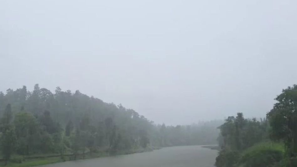
If you had plans to travel across the hills this week, you might want to hold that thought. The India Meteorological Department has put out a five-day weather forecast for Arunachal Pradesh, and it is not painting a pretty picture — rain, thunderstorms, and more rain are on the way starting September 15.
The IMD’s Meteorological Centre in Itanagar issued a district-wise advisory covering a broad sweep of the state. What’s notable is how many districts are in the crosshairs and how the storm activity keeps shifting from one belt to another over the course of the week. This isn’t just a passing shower. This is a sustained spell.
Tuesday kicks things off with the widest spread. Districts including Kurung Kumey, East Kameng, Upper Siang, Siang, Dibang Valley, Lower Dibang Valley, Lohit, Papum Pare, Tirap and Longding are all under the forecast for rain and thunderstorms. That’s a long list — covering the state’s central valleys, its eastern reaches, and its southern borders all at once. People in these areas woke up this morning already under that threat.
Come Wednesday, the weather tightens its grip on a smaller cluster. Kurung Kumey, East Kameng, Papum Pare, Kamle, Tirap and Longding are expected to see continued weather activity. Itanagar residents should pay close attention here — Papum Pare, which wraps around the state capital, remains on the list. Blocked roads, waterlogged lanes, and disrupted daily routines are the kind of things people here know all too well when the rains come hard.
By Thursday and Friday, the pattern narrows but doesn’t let up. East Kameng, Papum Pare, Changlang and Tirap are on the forecast for both days. Changlang and Tirap, sitting along the sensitive southern border areas, are no strangers to heavy rainfall — landslides and road collapses in these regions can cut off communities for days at a stretch. When the IMD says thunderstorms here, it’s worth taking seriously.
The week wraps up on Saturday with another reshuffle. Siang, Kurung Kumey, East Kameng, Papum Pare and Anjaw are expected to receive rain on that day. Anjaw, the state’s easternmost district bordering China, rarely makes it into routine news. Its appearance on Saturday’s forecast is a reminder of just how widespread this weather event is.
Arunachal Pradesh sits in one of the most rainfall-heavy zones in the country. The terrain — steep gorges, fast rivers, fragile hillside roads — makes any sustained rain event more than just an inconvenience. Roads slip. Bridges flood. Rescue operations in remote districts can take days to mobilise. Locals who live through the monsoon every year have a quiet toughness about them, but even they keep a close eye on the forecast when the warnings stack up like this.
Authorities and residents in the affected districts would do well to take these advisories at face value. Avoid unnecessary travel on mountain roads, keep tabs on local alerts, and make sure emergency supplies are accessible — particularly in the interior areas where a single landslide can isolate an entire village.
Five days of rain in the hills isn’t news. Five days of rain with thunderstorm warnings across more than ten districts is something you prepare for — not something you wait out.